Log in
All resources
Create a design
1,096,167 Free Images of Maps Of Bern
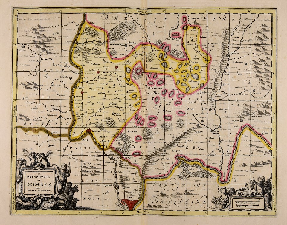
maps by pieter schenk (i)
maps made in the 17th century
gerard valck
atlantis magni tomus quartus (biblioteca comunale di trento)
atlantis magni tomus quintus (biblioteca comunale di trento)
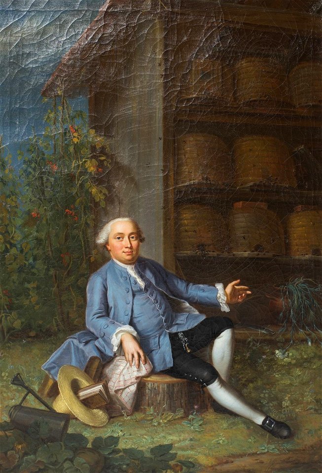
oil on canvas
portrait
maps made in the 18th century
guillaume sanson
illustrations from h.corbel
engravings of topographia saxoniae inferioris
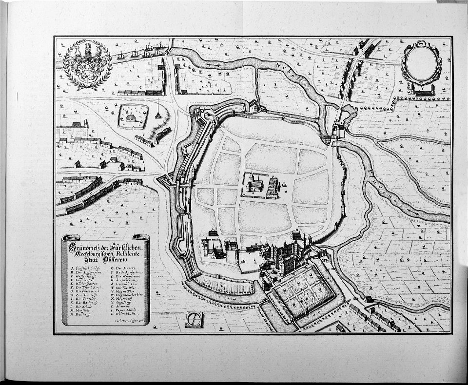
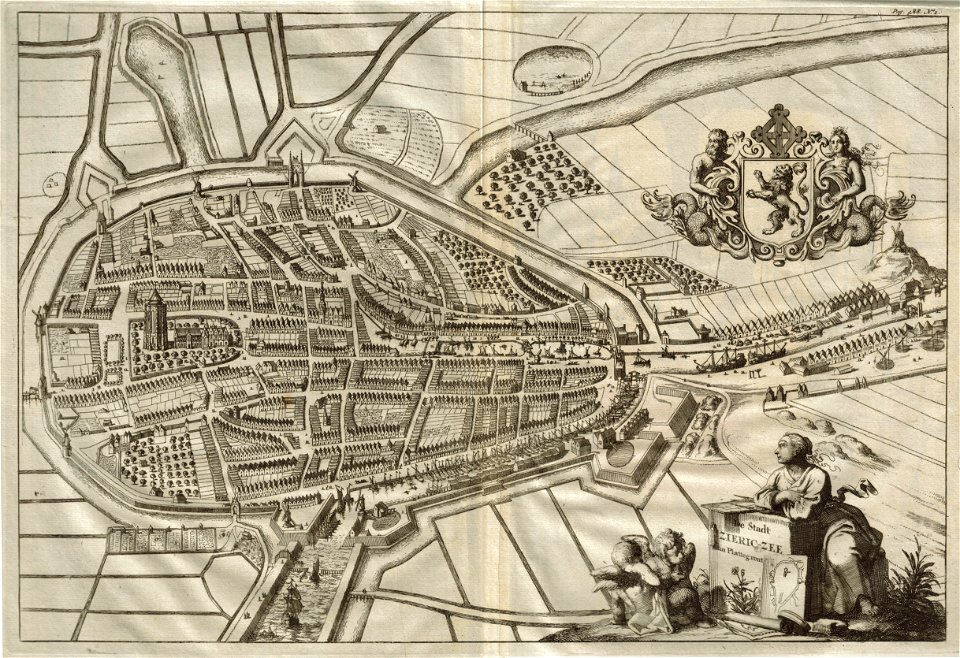
güstrow in the 17th century
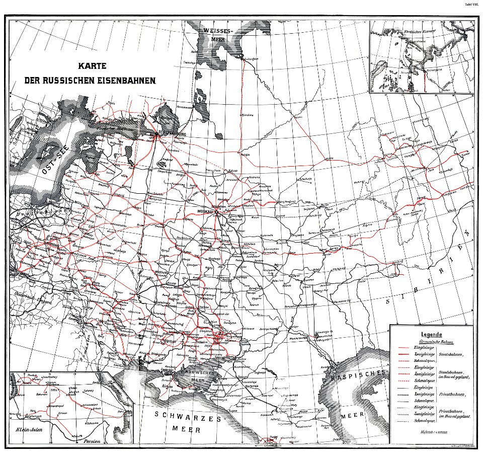
enzyklopädie des eisenbahnwesens
1912 in russia
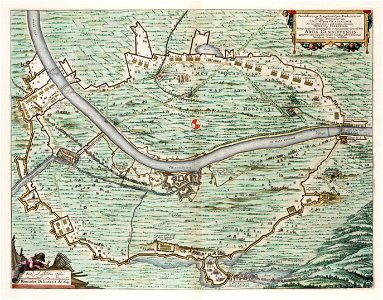
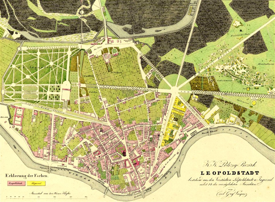
details of 1830 vienna map series by carl graf vasquez
palais rasumofsky
claes jansz. visscher (ii)
circumvallation
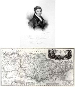
travels in the interior of north america
during the years 1832–1834
19th-century portrait paintings in the musée condé
portrait paintings of females by louis hersent
16th-century portrait paintings in the national portrait gallery, london
arnold van bronckorst
portrait of voltaire (nicolas de largillière - versailles mv 8159)
baroque
portraits of children by joshua reynolds
neoclassicism
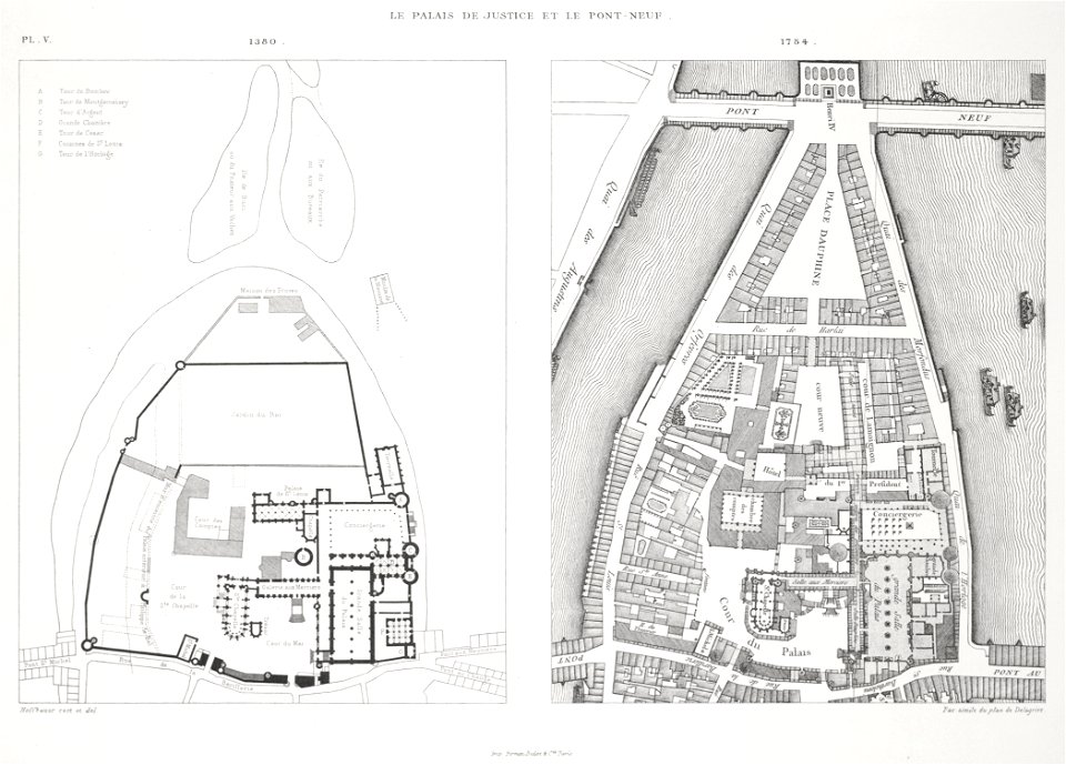
palais de la cité
conciergerie
images from metropolitan museum of art (paris project)
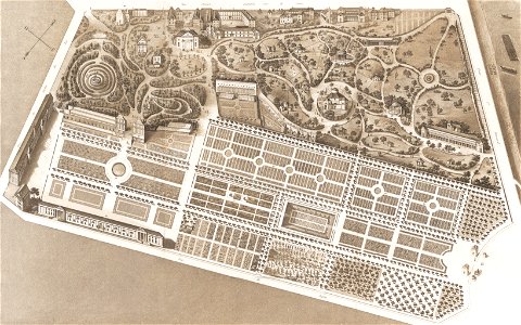
jardin des plantes
christmas
happy
beehives in art
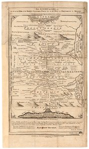
people of bern
maps from the earth and its inhabitants, vol. vi
exploration of asia
maps from the mechanical curator collection available to georeference
maps from the mechanical curator collection
maps in utrecht university library
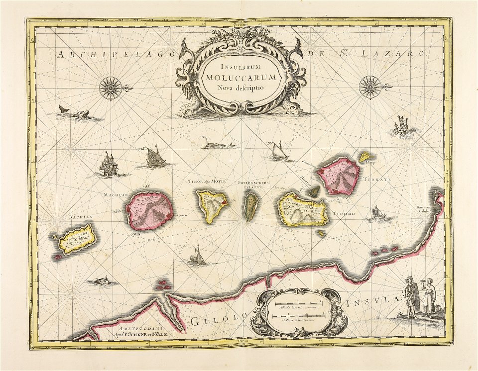
indonesia
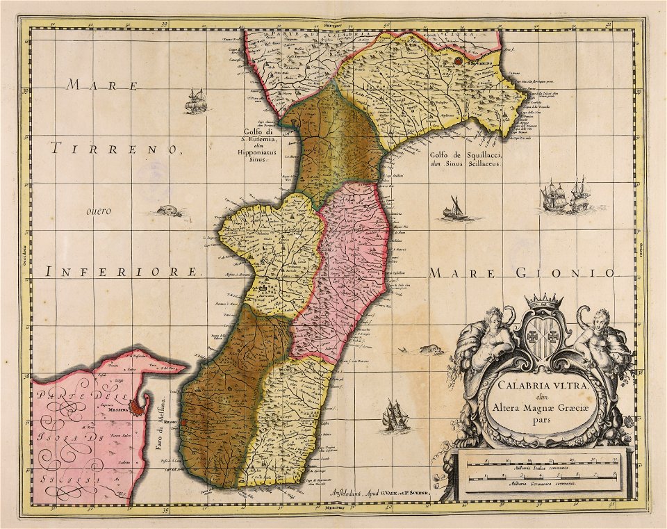
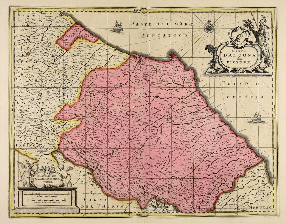
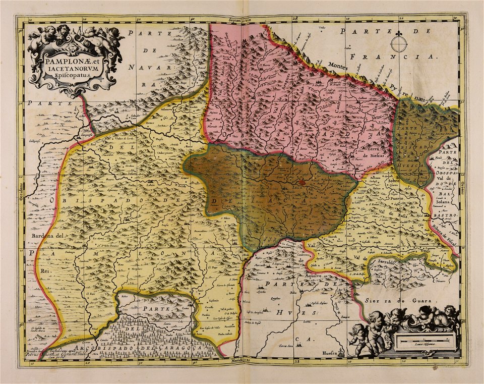
maps made in the 17th century
gerard valck
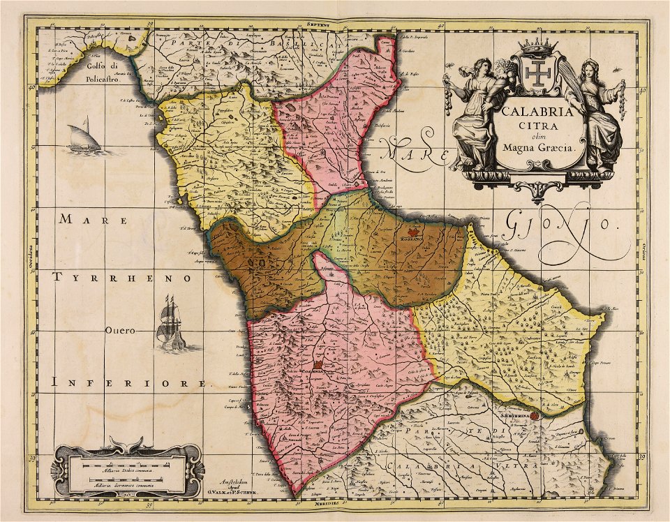
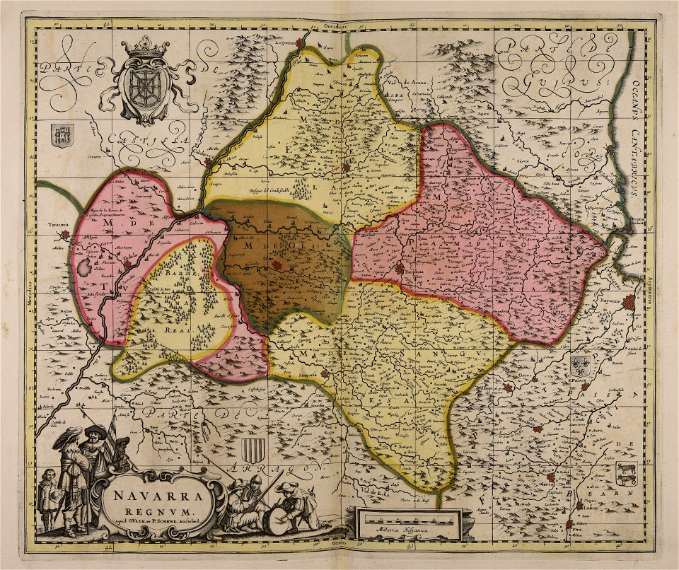
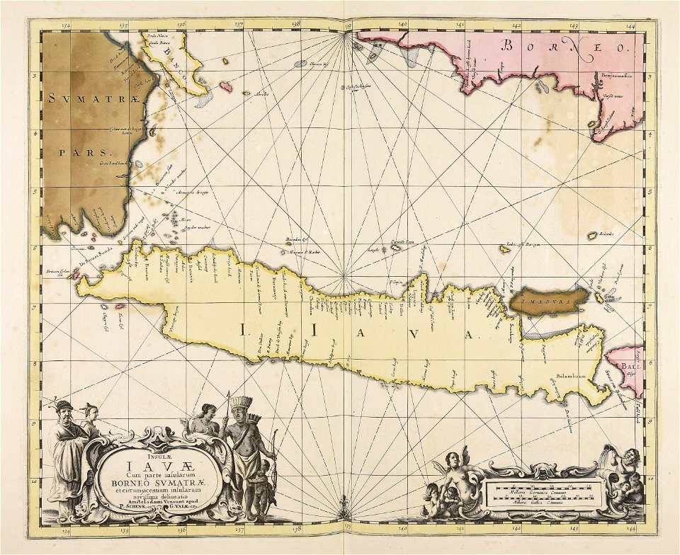
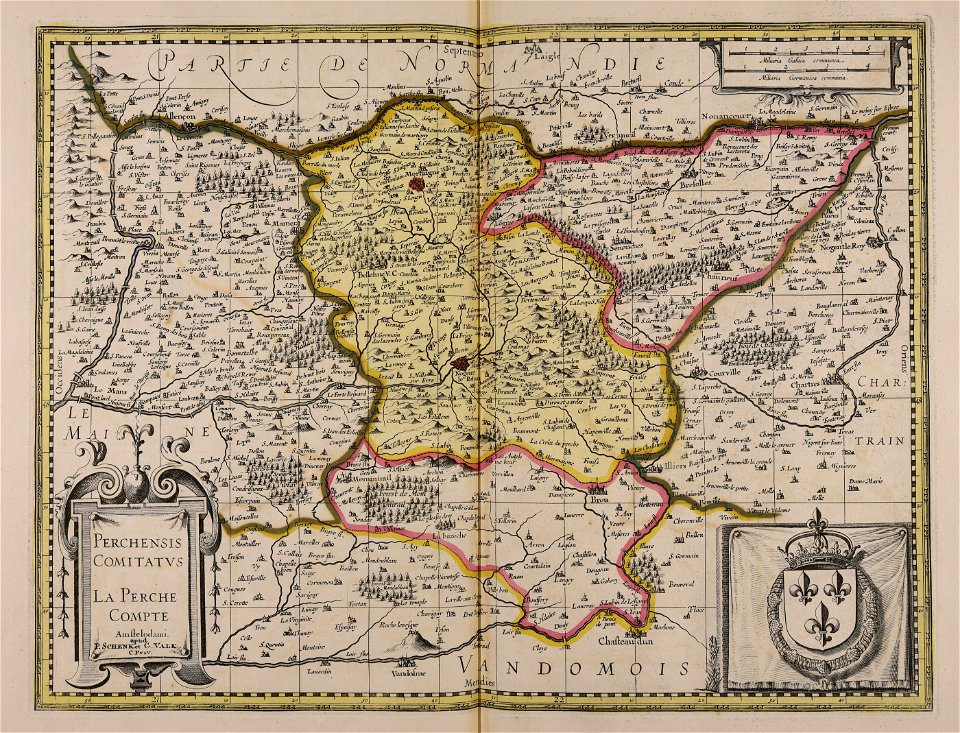
maps made in the 17th century
gerard valck
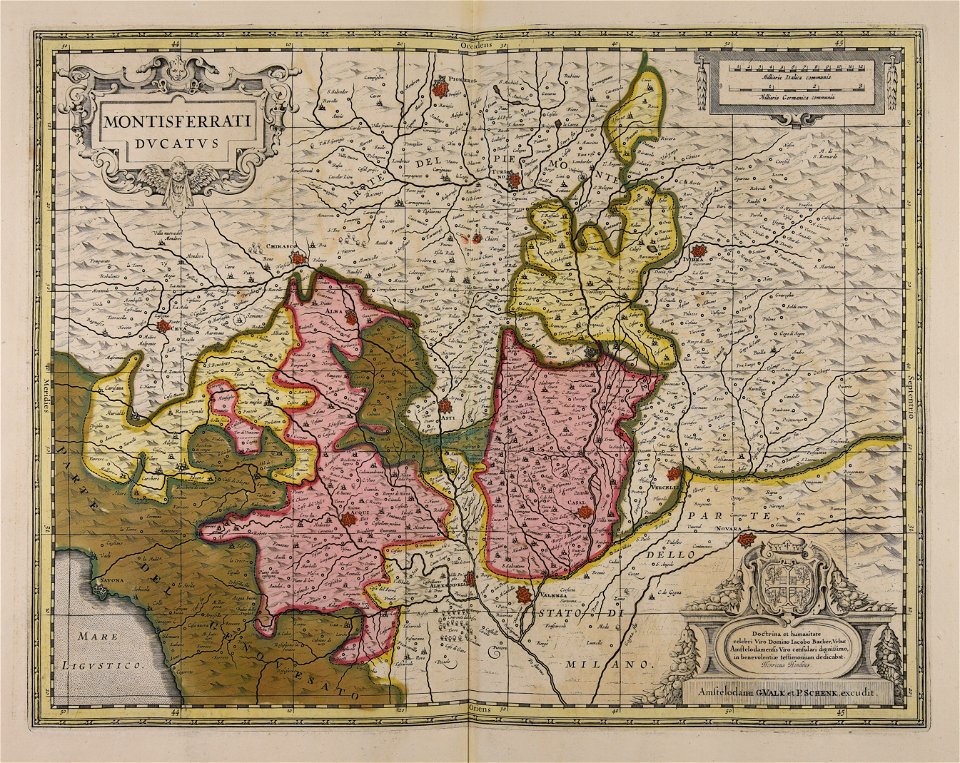
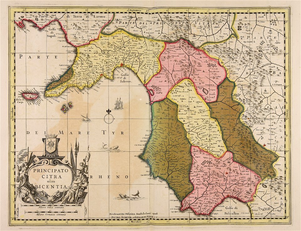
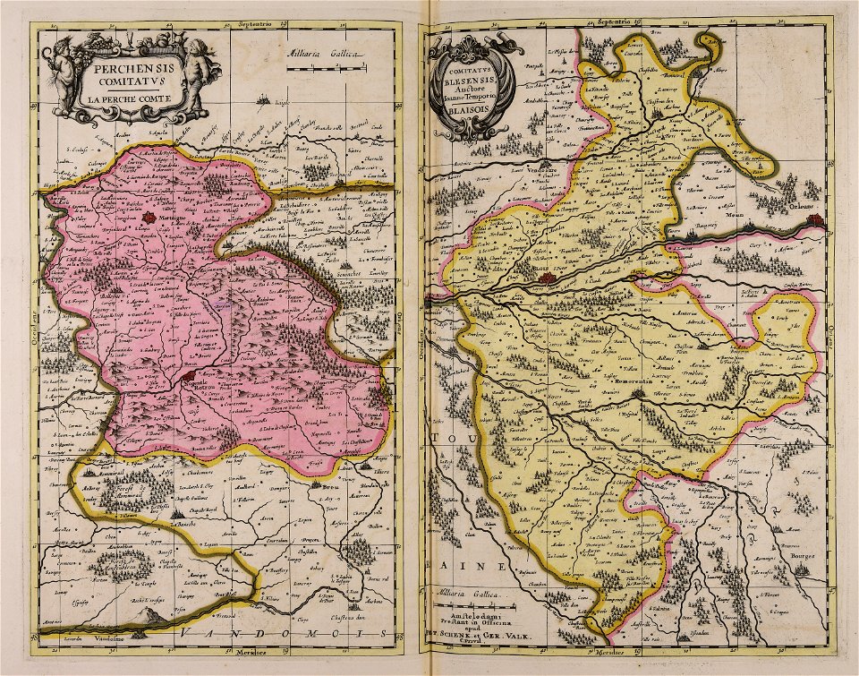
piedmont
lombardy
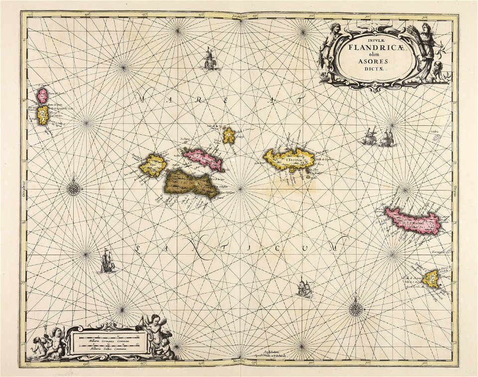
maps made in the 17th century
gerard valck
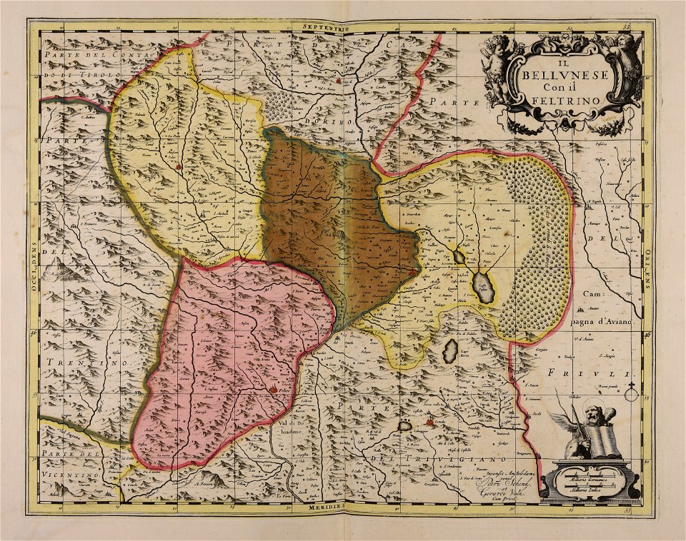
maps made in the 17th century
gerard valck
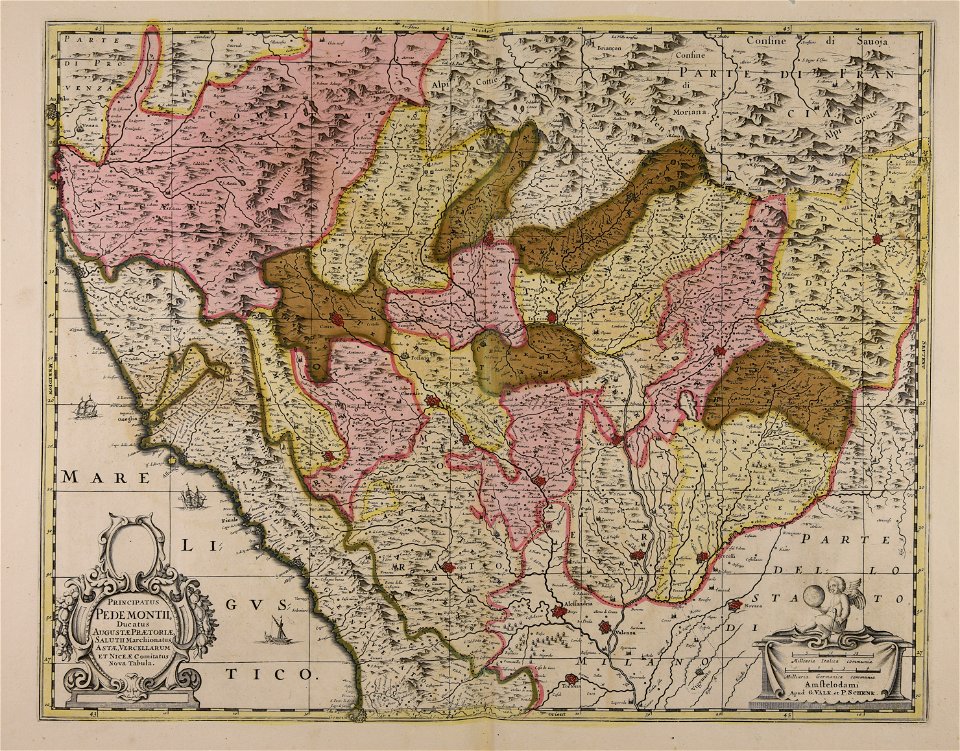
maps made in the 17th century
gerard valck
maps made in the 17th century
gerard valck
maps made in the 17th century
gerard valck
maps made in the 17th century
gerard valck
maps made in the 17th century
gerard valck
maps made in the 17th century
gerard valck
maps made in the 17th century
gerard valck
maps made in the 17th century
gerard valck
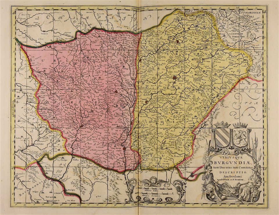
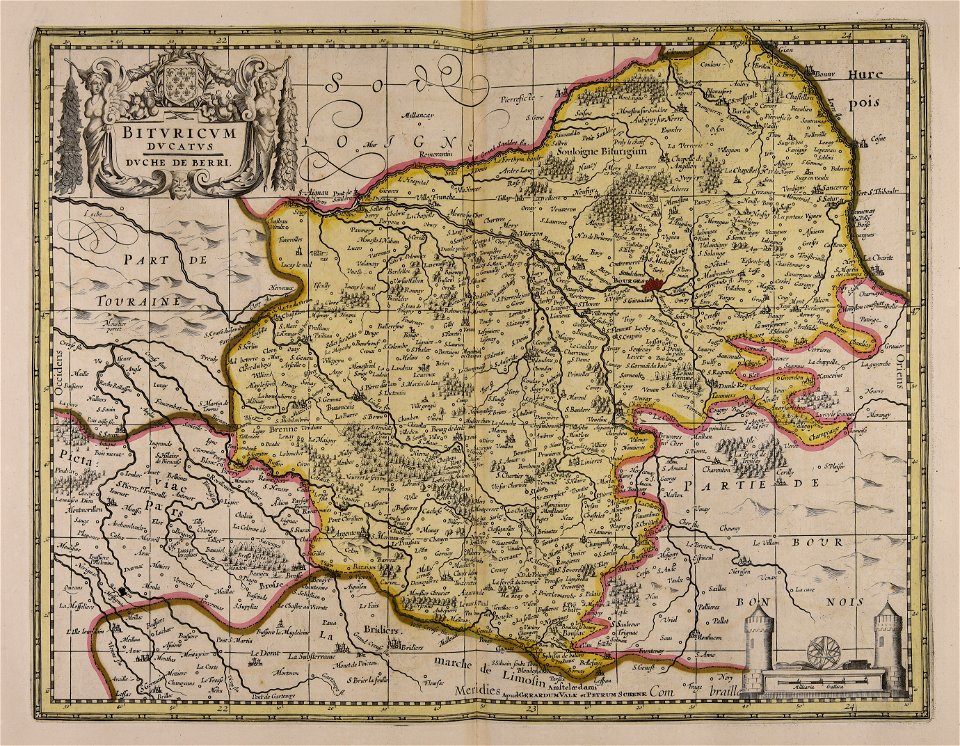
maps made in the 18th century
maps by pieter schenk (i)
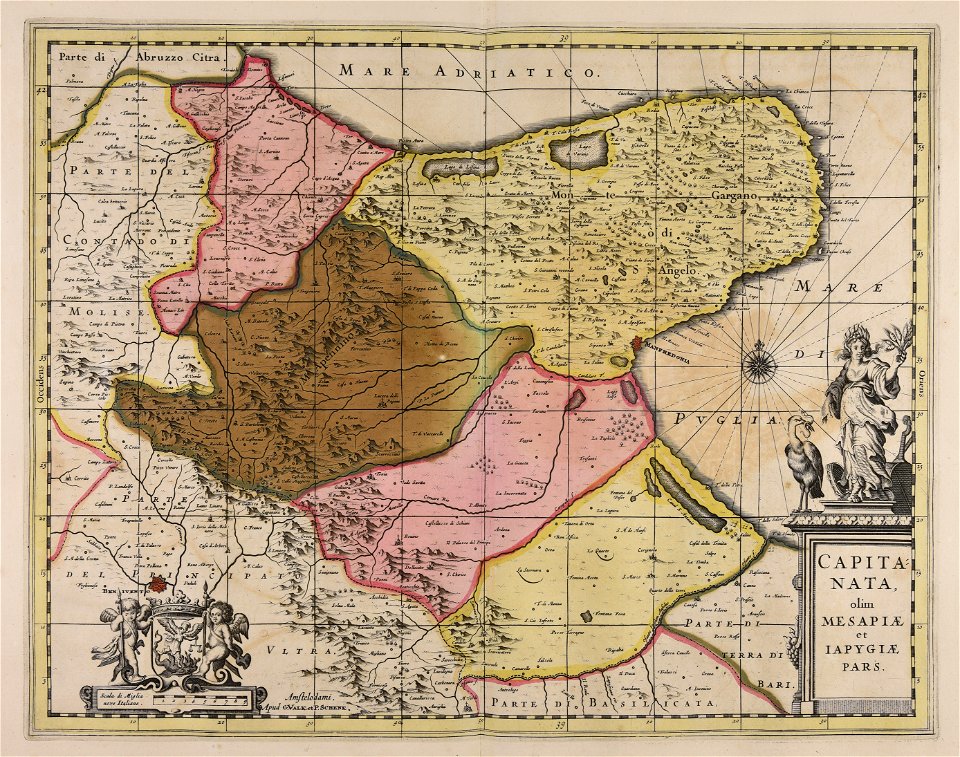
maps made in the 17th century
gerard valck
maps made in the 17th century
gerard valck
maps made in the 17th century
gerard valck
maps made in the 17th century
gerard valck
maps made in the 17th century
gerard valck
maps made in the 17th century
gerard valck
maps made in the 17th century
gerard valck
maps made in the 17th century
gerard valck
maps made in the 17th century
guillaume sanson
maps made in the 17th century
guillaume sanson
maps made in the 17th century
gerard valck
maps made in the 17th century
gerard valck
maps made in the 17th century
gerard valck
maps made in the 17th century
gerard valck
maps made in the 17th century
gerard valck
maps made in the 17th century
gerard valck
maps made in the 17th century
gerard valck
maps made in the 17th century
gerard valck
maps made in the 17th century
gerard valck
maps made in the 17th century
gerard valck
maps made in the 17th century
gerard valck
maps made in the 17th century
gerard valck
maps made in the 17th century
gerard valck
maps made in the 17th century
gerard valck
maps made in the 17th century
gerard valck
maps made in the 17th century
gerard valck
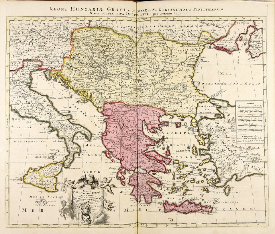
maps showing history
corfu
maps made in the 17th century
gerard valck
maps made in the 17th century
gerard valck
maps showing history
corfu
maps made in the 17th century
gerard valck
maps made in the 17th century
gerard valck
maps made in the 17th century
gerard valck
maps made in the 17th century
gerard valck
maps made in the 17th century
gerard valck
maps made in the 17th century
gerard valck
maps made in the 17th century
gerard valck
maps made in the 17th century
gerard valck
maps made in the 17th century
gerard valck
maps made in the 17th century
gerard valck
maps made in the 17th century
gerard valck
maps made in the 17th century
gerard valck
maps made in the 17th century
gerard valck
maps made in the 17th century
gerard valck
maps made in the 18th century
terra santa
1850 paintings in unidentified private collections
paintings by charles christian nahl
18th-century portrait paintings in the royal collection of the united kingdom
male portrait paintings by enoch seeman
printing
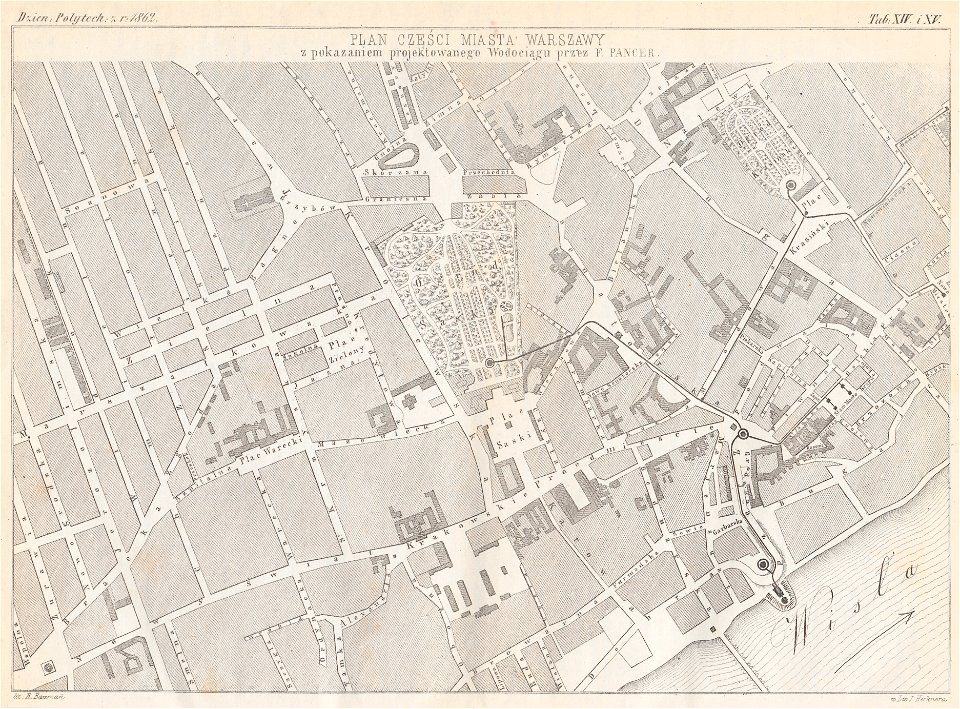
1869
warsaw in the 1860s
feliks pancer
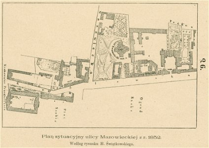
królewska street in warsaw
historical maps of warsaw
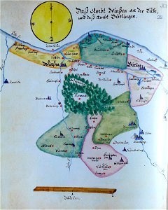
ämteratlas des fürstentums lüneburg von johannes mellinger
elbe in lower saxony
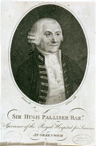
drawings and watercolours of the royal museums greenwich
printing
atlantis magni tomus primus (biblioteca comunale di trento)
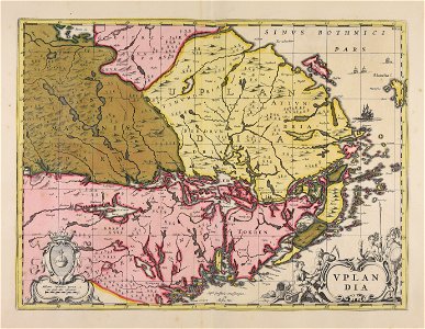
17th-century maps of sweden
maps in the national library of australia
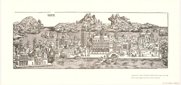
venice in art
engravings by jan luyken
1696
fahnenstangenwasser
vienna
monasticon gallicanum
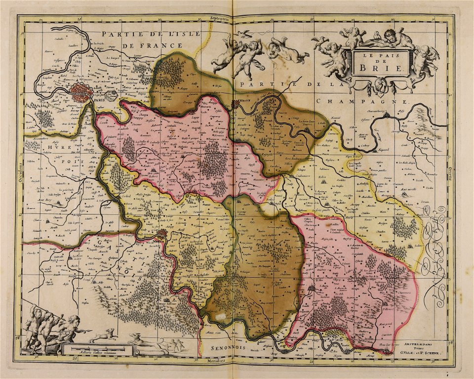
maps of meaux
illustrations from césar cascabel by george roux
19th-century maps of the americas
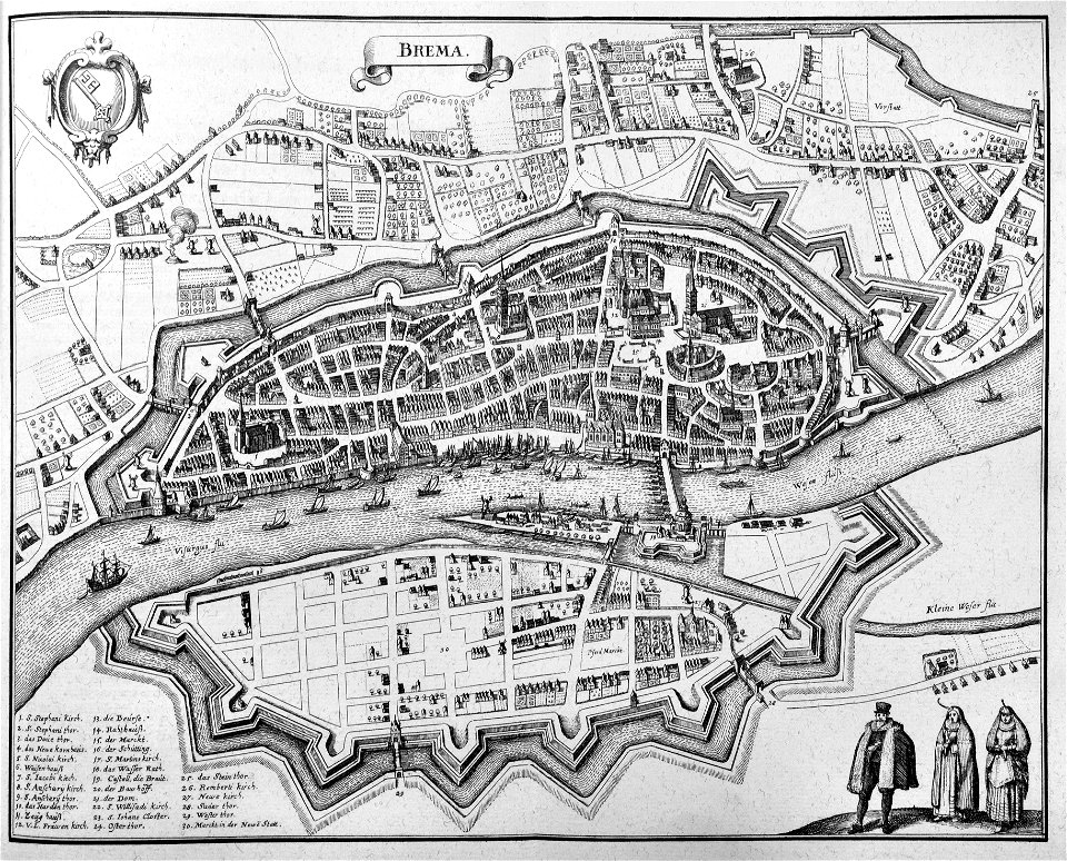
old maps of bremen (state)
bremen in the 1650s
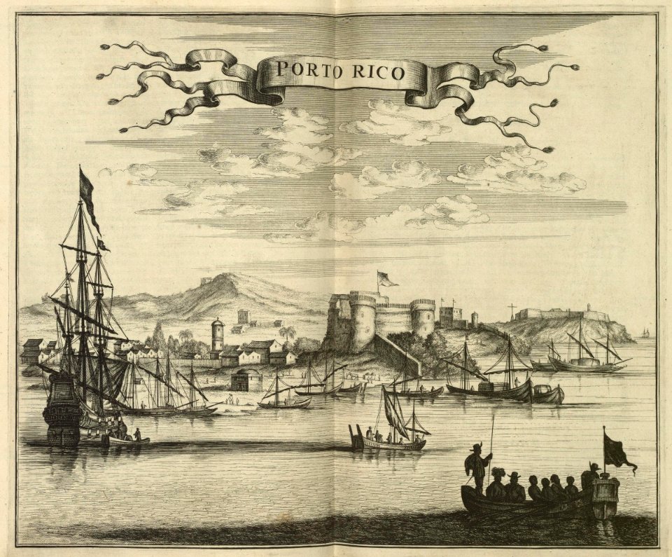
la fortaleza
puerto rico
johannes janssonius waasbergen
1672
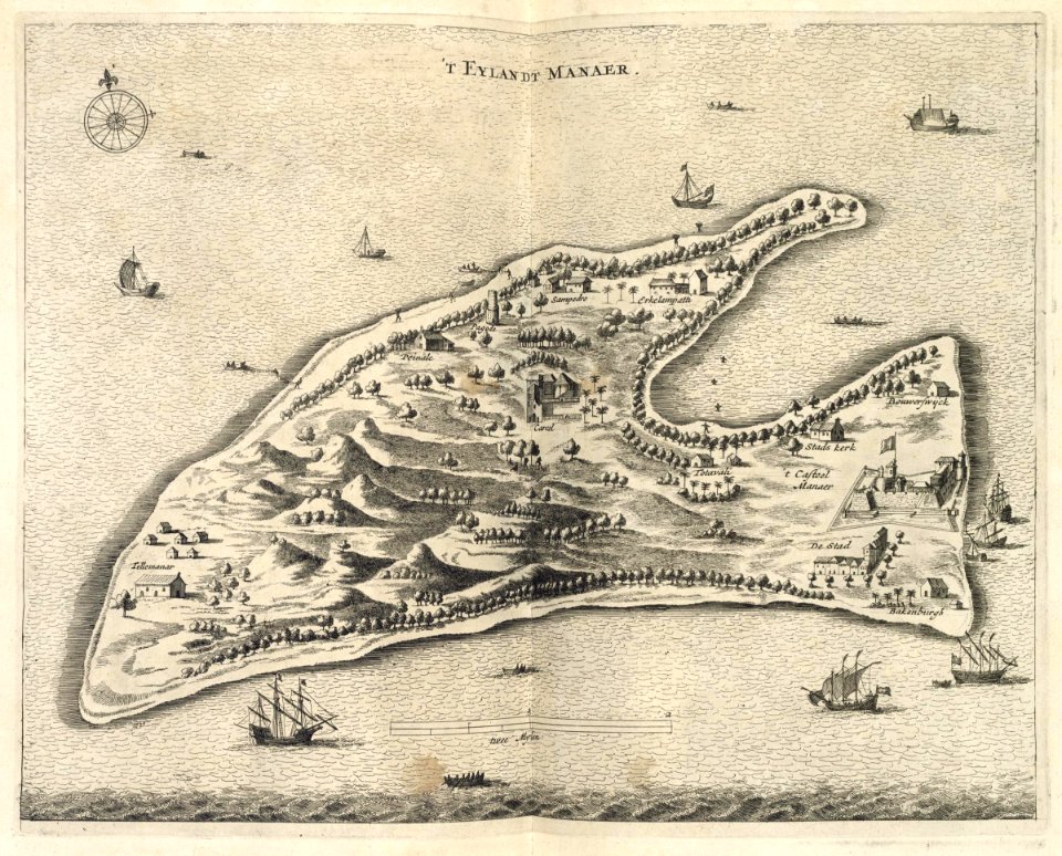
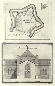
pulicat
1672
maps of the dutch east india company - sri lanka
1726
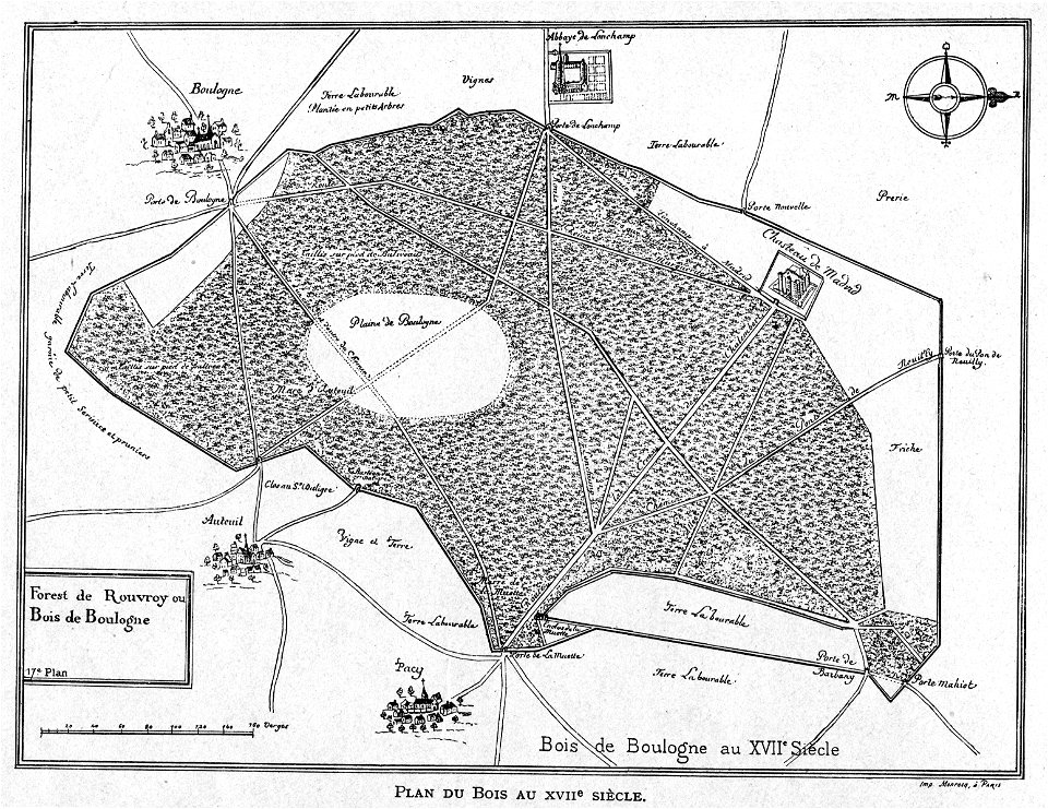
petite histoire du bois de boulogne
illustrations from h.corbel
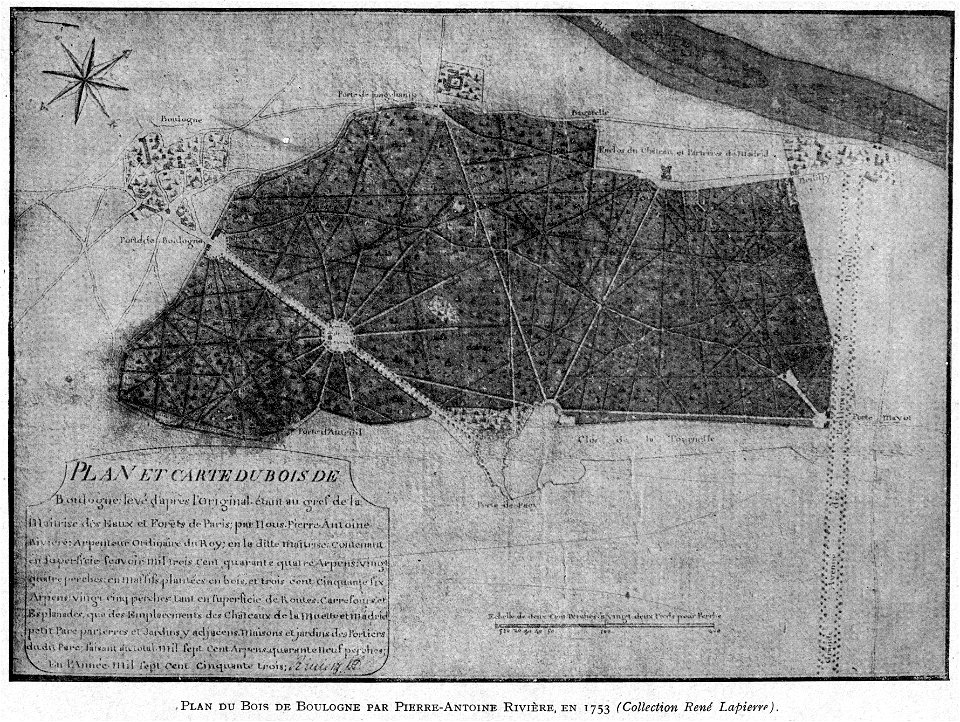
petite histoire du bois de boulogne
illustrations from h.corbel
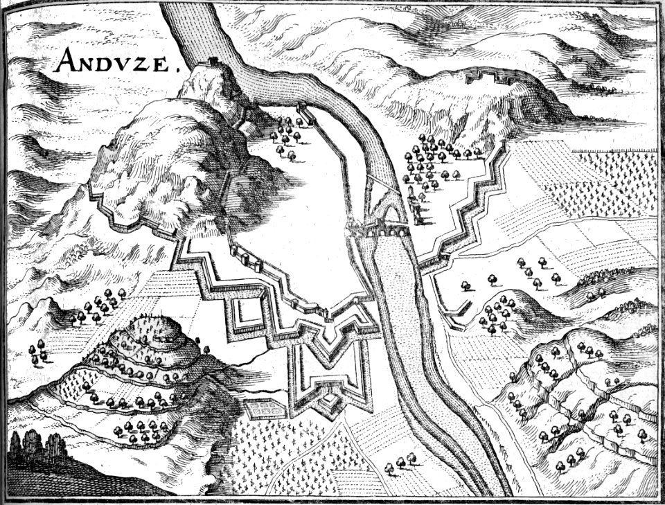
petite histoire du bois de boulogne
illustrations from h.corbel
bibliothèque municipale de reims
rès. g 153
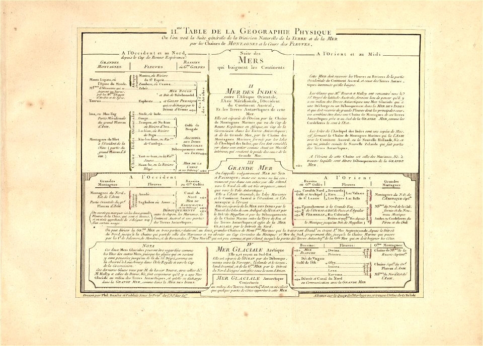
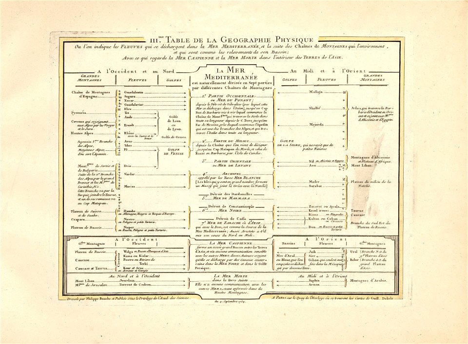
cartes et tables de la géographie physique ou naturelle
maps in the library of congress
cartes et tables de la géographie physique ou naturelle
maps in the library of congress
cartes et tables de la géographie physique ou naturelle
maps in the library of congress
9301 - 9400 of 1,096,167
Next page
/ 10962